Live snow forecast info for Gloucestershire and the Cotswolds

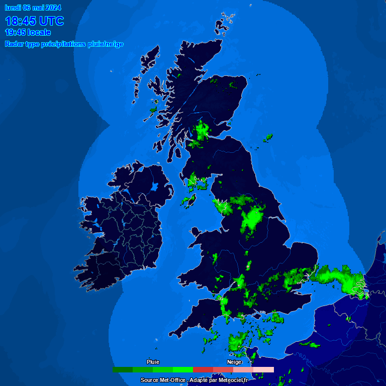
UK Snow Forecast Map


Key:
precipitation type radar
 Weather Warnings

  • Yellow warning of thunderstorm affecting South West England: Bath and North East Somerset, Bristol, Cornwall, Devon, Dorset, Gloucestershire, North Somerset, Plymouth, Somerset, South Gloucestershire, Torbay, Wiltshire valid from 1100 Tue 21 May to 2000 Tue 21 May
 Moon & Sun Forecast
Sunrise
5:06 am
Sunset
9:03 pm
Day Length
15:57 hrs
Waxing Gibbous, Moon at 13 days in cycle
Moonrise
7:07 pm
Moonset
3:50 am
Visibility
97%
Sun Phase: Above Horizon
Moon Phase:Waxing Gibbous

On this day
Record Temperatures On This Date
Record High
25.3°C - 2010
Record Low
0.4°C - 2007

Tuesday's Extremes

High Temp: 18.0°C   at  12:00 AM
Low Temp: 8.2°C  at 5:48 AM
Rain Rate: 0.00 mm/hr @ 6:22 PM
UV High: 7.0  at  9:47 AM
Max Gust: 15.0 mph at 8:15 AM
Min Windchill: 7.5°C  at  6:24 AM
High Temp: 26.2°C   on  12/5
Low Temp: -8.0°C<  on 18/1
Wettest Day: 21.4 mm  on  28/4
UV High: 14.0  on  15/5
Max Gust: 52.9 mph on 2/1
Min Windchill: -10.8°C  on  18/1
High Temp: 35.5°C   on  18/7/2022
Low Temp: -10.8°C on 20/12/2010
Wettest: 80.2 mm  on  20/7/2007
UV High: 18.0  at  13/6/2022
Max Gust: 62.1 mph at 23/2/2017
Min Windchill: -17.8°C  at  30/6/2010